Visalia sits at an elevation of roughly 331 feet above sea level, with a population that has surged past 145,000, pushing new construction into areas with complex soil profiles. The alluvial fans that spread from the Sierra Nevada foothills leave behind lenses of silty sand and clay that can behave very differently within the same city block. In our laboratory, we have observed how even a 15-foot-deep excavation in downtown Visalia can encounter perched groundwater that was not predicted by the initial desktop study. That is why geotechnical excavation monitoring becomes the bridge between the design assumptions and what the ground actually does when you start removing material. We combine automated total stations with manual inclinometer readings, feeding data directly to the project engineer so that shoring adjustments happen before small movements turn into costly setbacks. The most common challenge we see in Visalia is not deep rock but the transition zones where stiff clay gives way to loose granular deposits, and monitoring those interfaces requires instrumentation placed at exactly the right depth.
Monitoring is not just about measuring movement; it is about understanding the lag time between excavation advance and soil relaxation in Visalia’s alluvial deposits.
Scope of work in Visalia
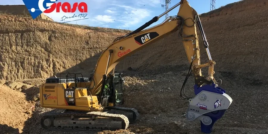
Local geotechnical conditions in Visalia
The hot, dry summers in Visalia, where temperatures routinely climb above 100°F, can desiccate the upper soil layers and cause shrinkage cracks that disguise the true in-situ moisture condition until the first winter rains arrive. That seasonal swing creates a monitoring paradox: an excavation that looked perfectly stable in August can start showing distress in November, not because the shoring design was wrong, but because the soil’s matric suction collapsed once water infiltrated the exposed face. We have seen cases where a 20-foot cut through lean clay stood nearly vertical during the dry season, only to develop tension cracks within 48 hours of a modest storm. Our monitoring protocol in Visalia accounts for this by requiring a post-rainfall inclinometer sweep within 24 hours of any precipitation event greater than 0.3 inches. Additionally, the proximity of the Kaweah River delta means some project sites encounter buried channel deposits with high permeability contrasts, and without pore pressure monitoring, a sudden inflow from a sand lens can undermine the excavation floor faster than any visual inspection would catch.
Our services
Our Visalia excavation monitoring program is structured around the specific failure mechanisms we encounter in the San Joaquin Valley. Each service package is designed to answer a distinct question: how much is the shoring deflecting, is the water pressure rising, and are the neighboring buildings moving. We configure the instrument array based on the excavation depth and the proximity of sensitive structures.
Inclinometer Monitoring Program
Installation of dual-axis inclinometer casing behind soldier pile and lagging walls, with baseline readings and daily deflection plots during excavation and backfill phases. We use digital MEMS probes calibrated to ASTM D6230.
Vibrating Wire Piezometer Installation
Placement of push-in or fully grouted piezometers in the critical aquifer layers below the excavation base. Real-time monitoring of excess pore pressure during dewatering and excavation sequencing.
Optical Survey and Crack Monitoring
Pre-construction condition surveys of adjacent structures using precision total stations. Installation of crack monitors and optical prisms on buildings within the zone of influence, with weekly deformation reports.
Threshold Alert and Reporting System
A cloud-based dashboard that aggregates all instrument data, compares readings against project-specific amber and red thresholds, and automatically notifies the engineer via SMS and email when triggers are approached.
Top questions
What types of instruments do you use for excavation monitoring in Visalia?
We primarily deploy inclinometers with MEMS digital probes, vibrating wire piezometers for pore pressure, and automated total stations with optical prisms for surface settlement. In deeper excavations we occasionally add extensometers and load cells on tieback anchors. Every instrument is calibrated to ASTM standards before mobilization, and we select the sensor type based on the soil profile encountered during the pre-construction geotechnical investigation.
How much does excavation monitoring typically cost for a project in Visalia?
For a standard commercial excavation in Visalia—typically 15 to 30 feet deep with inclinometers, two to three piezometers, and optical monitoring of adjacent structures—the monitoring program ranges from US$750 to US$2,830 per month depending on instrument count, reading frequency, and reporting requirements. A fixed-price proposal is always provided after reviewing the shoring plans and the proximity of neighboring buildings.
How often do you take readings during active excavation?
During active excavation, we take inclinometer and piezometer readings at least every 24 hours. If the excavation is advancing near a known weak layer or if the previous reading showed movement exceeding 60% of the design threshold, we tighten the frequency to every four hours until the trend stabilizes. After heavy rain—anything over 0.3 inches in a single event—we perform an additional sweep within 24 hours regardless of the regular schedule.
What triggers a stop-work or alert condition during monitoring?
Our alert protocol uses a two-tier system. An amber alert is issued when any instrument reaches 80% of the project's design movement limit; this triggers an immediate notification to the engineer of record and a mandatory review of the shoring design. A red alert at 100% of the allowable movement requires halting excavation in the affected zone until the cause is evaluated and a mitigation plan is approved. The specific numeric thresholds are set during the pre-construction meeting based on the structural engineer's deformation tolerances. More info.